
SAN ANTONIO — Storms brought downpours to San Antonio and large hail to other parts of the region Tuesday night, knocking out power to tens of thousands.
At one point around 11:30 p.m., there were more than 31,000 CPS Energy customers who didn't have electricity. Crews got to work, and by 7:10 a.m. Wednesday that number had dropped to fewer than 2,000. As of 1 p.m., only about 650 customers remained without power.
The forceful overnight storms have given way to a Red Flag Warning – meaning there's an increased risk of fire danger across the Southern Edwards Plateau and the Rio Grande Plains – and Wind Advisory for counties to the north and west of Bexar, stretching all the way to Val Verde, Kinney and Maverick. It's expected to stay in place until 7 p.m. Wednesday.
Windy conditions are expected Wednesday across the Hill Country, Southern Edwards Plateau and the Rio Grande Plains, with possible gusts of up to 40 to 50 mph.
Otherwise, there are no active storm warnings for Bexar County after a hazardous Tuesday night that saw loud cracks of lightning and rainfall pounding the Alamo City for about two hours. A Severe Thunderstorm Watch impacting Bexar and surrounding counties was expected to last until 4 a.m. but ended early.
Some Bexar County roads remain closed due to high water levels.
KENS 5 viewers in the region reported hail as big as golf balls. In downtown San Antonio, showers drenched the heart of the city.
And, just north of downtown, one resident observed as lightning knocked out power on their block.
Here's what to expect looking ahead:
Wednesday morning to afternoon
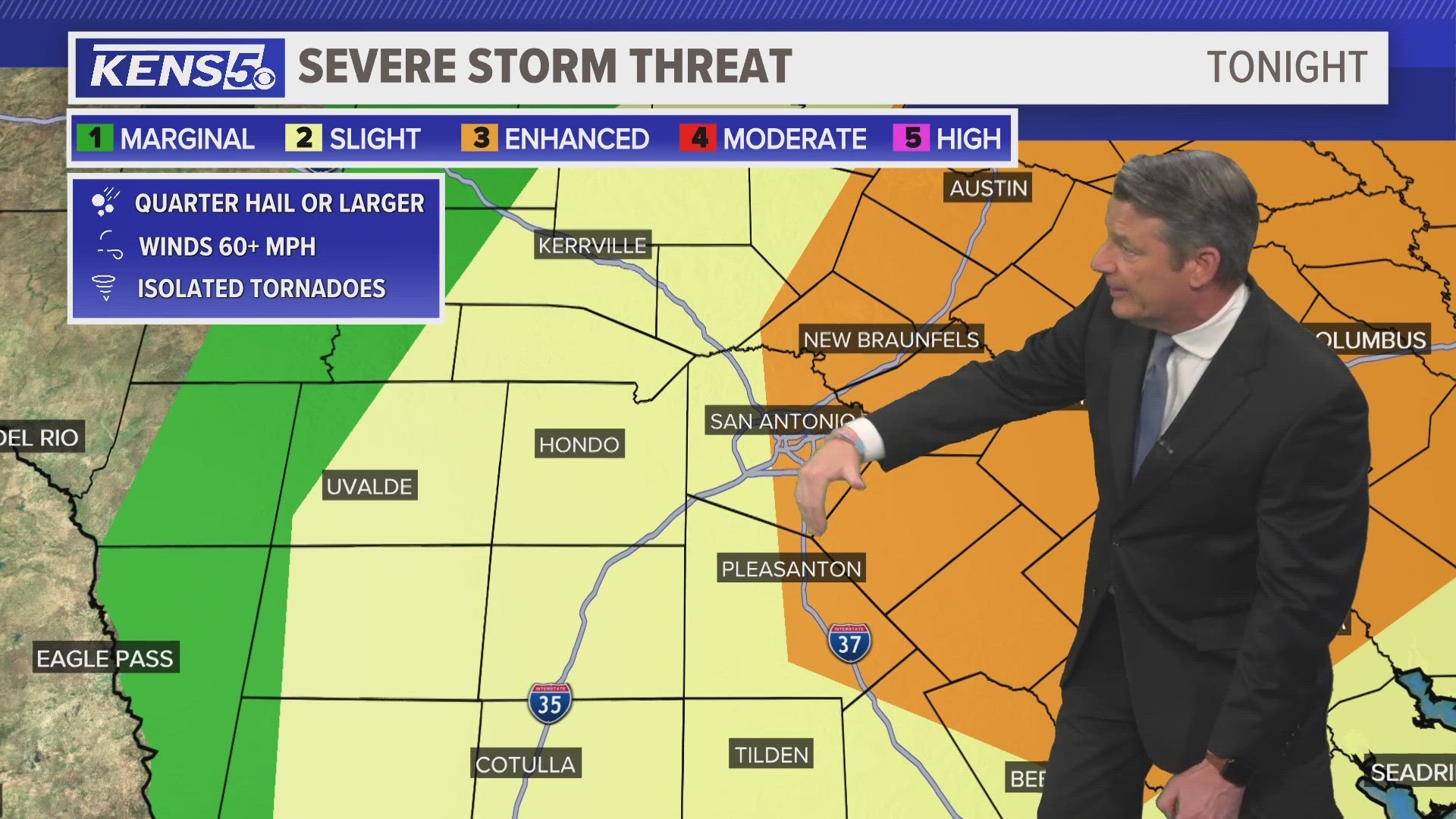
Early morning is when the main weather show begins for San Antonio around midnight as a Pacific front moves in. One weather model is aggressive with storm development overnight around 2 a.m. showing large hail possible. Therefore, if you can park your car in the garage or under a cover that would be helpful. Even placing a blanket over your vehicles is a good idea.
This storm system is bringing a high chance for strong wind gusts with some isolated thunderstorms as high as 60 mph winds. Isolated tornadoes also can't be ruled out. Remember when thunder roars go indoors.


By morning rush hour around 8 a.m. most of the severe weather should be done. However, breezy and chilly conditions will fall behind the front. Winds will gusts near 20 mph and temperatures in the low 60s so pack a light jacket for the morning. The afternoon will be beautiful spring weather with highs only in the upper 70s.
This is a developing weather event. Refresh the page for the latest updates.
SEVERE WEATHER 101
When severe weather threatens the area, it is important to know what risks a storm can bring and what you should do to stay safe.
One of the most important things to know is where you are located on a map, so when a watch or warning is put into place, you can identify if you are at risk. When the National Weather Service puts out warnings, they are county-based and sometimes include cities as well. It is important to know where you live in the county and that you can identify it on a map.
It is also important to know the difference between a watch and a warning. A watch means that conditions are favorable for something to happen, but a warning means that something has developed and it is important to take action.
So, what would cause a thunderstorm to be qualified as a "severe" thunderstorm?
Hail that is one inch large is also considered to be about the size of a quarter.
Another ingredient that would lead to a storm becoming severe is if winds are 58 mph or greater.
Winds at this strength could cause damage to roofs and could even cause trees to be knocked down.
Finally, if a tornado is present inside a thunderstorm it would qualify the storm as becoming severe.
In this instance, a tornado warning would be issued.
A tornado watch can be issued for an area if strong storms are expected, and if the storms bring the risk for tornadoes, but not all storms include the threat for tornadoes. The ingredients in the atmosphere for a tornado to form are not always there when storms are present.
If the area you are in is ever under a tornado warning, it is important to know where you should go inside your home.
Head to the lowest, interior room of your home. The basement would be best, but if you don't have one, head to the first floor of the home and get away from exterior walls, or walls that lead to the outside of the home.
It is also important to stay away from glass. The more walls you can put between you and the outside, the better.
While lightning can be frequent in storms and very dangerous, it does not lead to a storm being qualified as severe.
Remember, when thunder roars, go indoors.
Storms can also lead to flooding. Flooding may not cause a storm to be labeled as being severe, but it is the deadliest kind of weather.
South Texas is known to have major flood events every few years, so it is important to use caution and to always stay out of floodwaters. Remember, turn around, don't drown.
Entering flood water is very dangerous as you can be swept off of your feet and you don't know what could be in the water that could hurt you.
The best thing you can do to be ready for severe weather is know what you will do in the event it strikes where you live.
Make sure your family has a severe weather action plan.
Have a place everyone goes inside your home and keep supplies there, such as food, medication, batteries, and flashlights.
Weather Minds Classroom: Take a class in Severe Weather 101
Follow the KENS 5 Weather Team
Don't forget you can download the KENS 5 app for the latest news and weather information each day while you are on the go.