
SAN ANTONIO — Get ready to cool down San Antonians as the next cold front will finally usher in some cooler weather. After months of high temperatures in the 90s, San Antonio will finally catch a break allowing a taste of fall with possible low temperatures in the 60s to usher in next week.
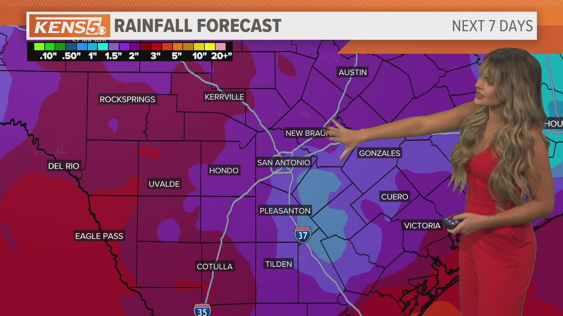
Another piece of excellent news are chances of rain to increase with the potential for some spots to collect up to two inches across Bexar County. The combination of moisture and arrival of the front could allow storm development each day through next Friday.
Here's what San Antonians can expect next week:
Monday- Wednesday (Highs 90s and Lows 70s): Above normal levels of moisture will continue to hang keeping rain chances in store through Wednesday. Potential shower activity could take place after lunch as afternoon heating takes place. Finally overnight Wednesday into Friday morning is when the cold front is scheduled to arrive.
Thursday - Friday (Highs 80s and Lows 60s): Thursday morning San Antonians will feel a change as the front will arrive dragging showers and storms as it pushes through the city.

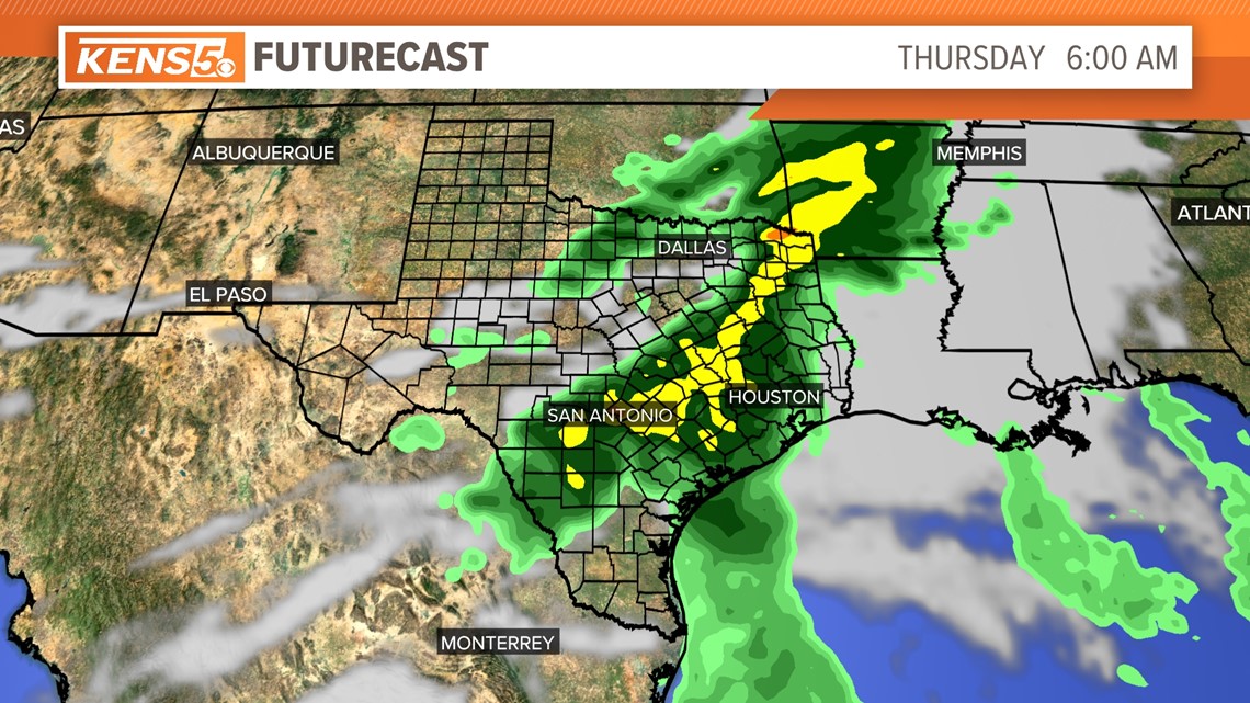
Thursday could also be a day with heavy rainfall potential in some isolated spots. Once the front passes high temperatures will also drop below average in the mid 80s and low temperatures will drop as low as the 60s. Enjoy!
Friday rain chances will drop down to only 20 percent.