
ST. PETERSBURG, Fla. — Hello, peak hurricane season! We have PLENTY to monitor this week.
Let's break them all down for you:
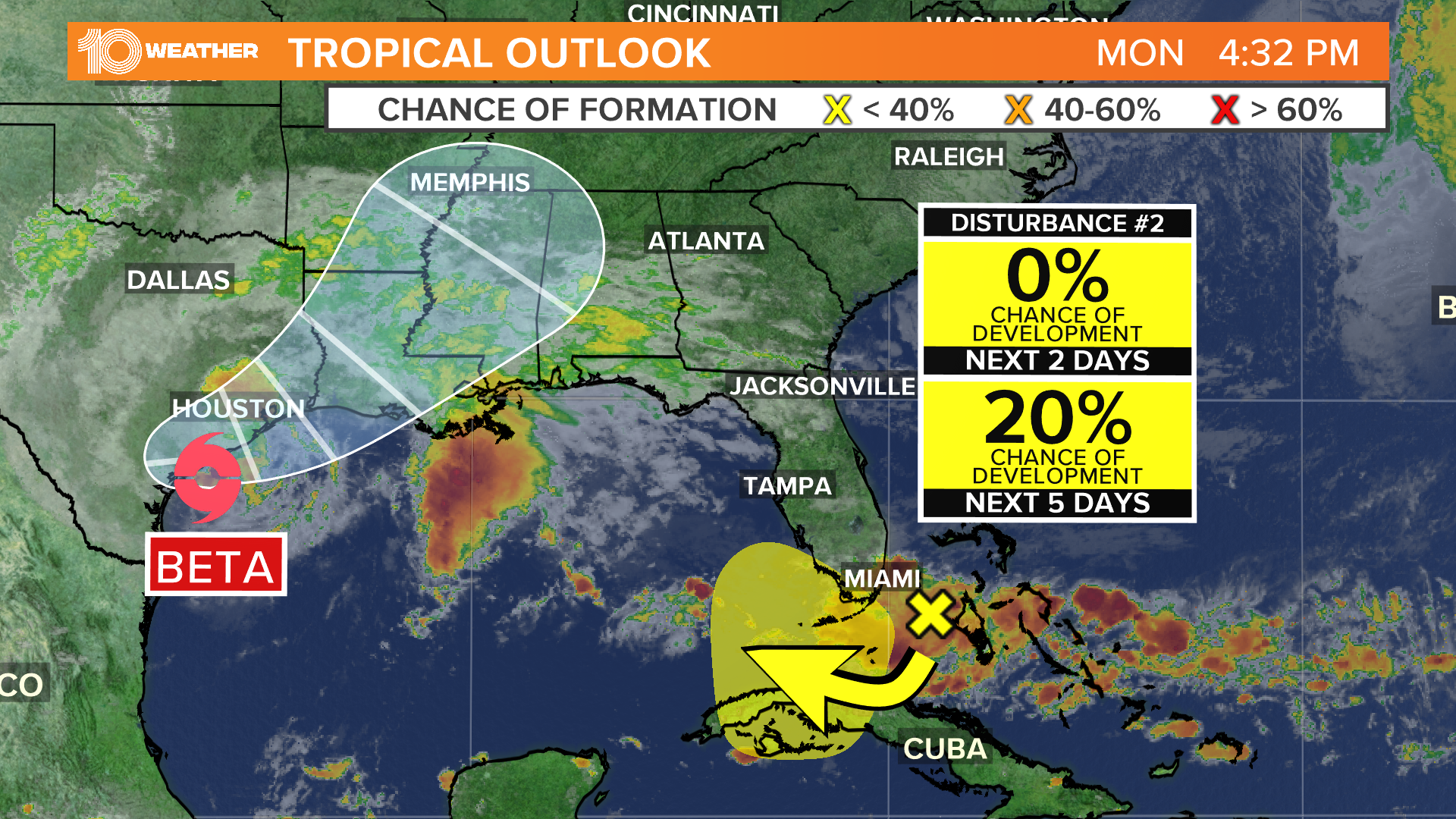
Tropical Storm Beta
- Tropical Storm Beta strengthened from Tropical Depression 22 on Friday evening in the southwestern Gulf of Mexico.
- It's the third storm named Friday and the second on the Greek alphabet list of names for the 2020 Atlantic hurricane season.
- Beta has maximum sustained winds of 60 mph and is about 120 miles south of Galveston, Texas.
- The National Hurricane Center predicts the center of Beta will slowly approach the Texas coast late Monday
Hurricane Teddy:
- As of 11 p.m. on Sunday, Teddy a Category 2 hurricane with winds of 105 mph.
- It was once a major Category 4 hurricane. Teddy is the second major hurricane of the 2020 season.
- The latest track from the National Hurricane Center has it moving to the north. The system is expected to remain a large and powerful hurricane through Tuesday and then weaken to a post-tropical cyclone on Wednesday.
- Teddy will heighten the rip current risk across the Atlantic Coast through next week.
Disturbance 1 (Invest 99-L):
- This is actually a non-tropical area of low pressure over in the far northeastern Atlantic Ocean.
- Over the coming days, this disturbance is expected to slide southeast into some slightly warmer waters, acquiring some tropical or subtropical characteristics.
- Overall, this disturbance has a medium, 60-percent chance of development in the coming days while drifting southeast, staying well away in the eastern Atlantic.
Disturbance 2
- This low-pressure system is off Florida's east coast, producing a small area of disorganized showers and thunderstorms.
- It is forecast to move over land, where significant development is not anticipated.
- It has a low, near 0-percent chance of further development.
►Breaking news and weather alerts: Get the free 10 Tampa Bay app
►Stay In the Know! Sign up now for the Brightside Blend Newsletter