SAN ANTONIO — Take out those big coats San Antonians! A temperature roller-coaster, wintry mix and wind chill temperatures in the 20s are expected for San Antonio in the next 48 hours.
A strong cold front will push through San Antonio Wednesday night through Thursday morning bringing a 40-degree drop in high temperatures that will hang around throughout the week.
Here's what San Antonio can expect the next 5 days:
Wednesday (High 75 and Low 56): Fog development is possible by early morning due to light winds and increased moisture. High temperatures will stay warm in the mid 70s for the afternoon.
By the evening wind speeds start picking up around 30 mph and temperatures drop in the upper 30s by midnight.
Thursday (High 39 and Low 34): Wake up early for your morning commute because a wintry mix of rain, sleet, freezing rain or freezing drizzle is possible producing slick road conditions around 8 a.m.
One model indicates temperatures stay above freezing in San Antonio bringing little potential for snow development. However, San Antonio bridges and elevated road surfaces are could cause dangerous/slippery conditions. Wintry mix conditions will continue throughout the day. Precipitation may start as light rain and change into a wintry mix of rain/sleet by the afternoon.
Better chances of snow will be in the Hill Country with temperatures in the low 30s and upper 20s.
Winds will be breezy around 30 mph by noon and temperatures cold in the mid 30s throughout the day. This will allow wind chill temperatures to feel like the low 20s.
Temperatures will continue stay in the low 30s overnight bringing the chance for a possible freeze overnight Thursday night into Friday morning.
Friday (High 40 and Low 31): After the cold front passes the air will become extremely dry with San Antonians waking up to morning temperatures in the low 30s. Although wind speeds will lower from Thursday, morning temperatures will allow wind chill values to fall into the upper teens. So bundle up and keep those big jackets out!
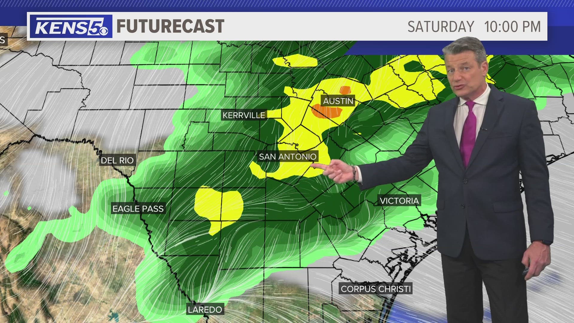
Weekend: A warming trend will begin for Saturday and Sunday with high temperatures only rising in the low 50s. Overnight temperatures could still drop in 30s. This is below average for this time of year.