
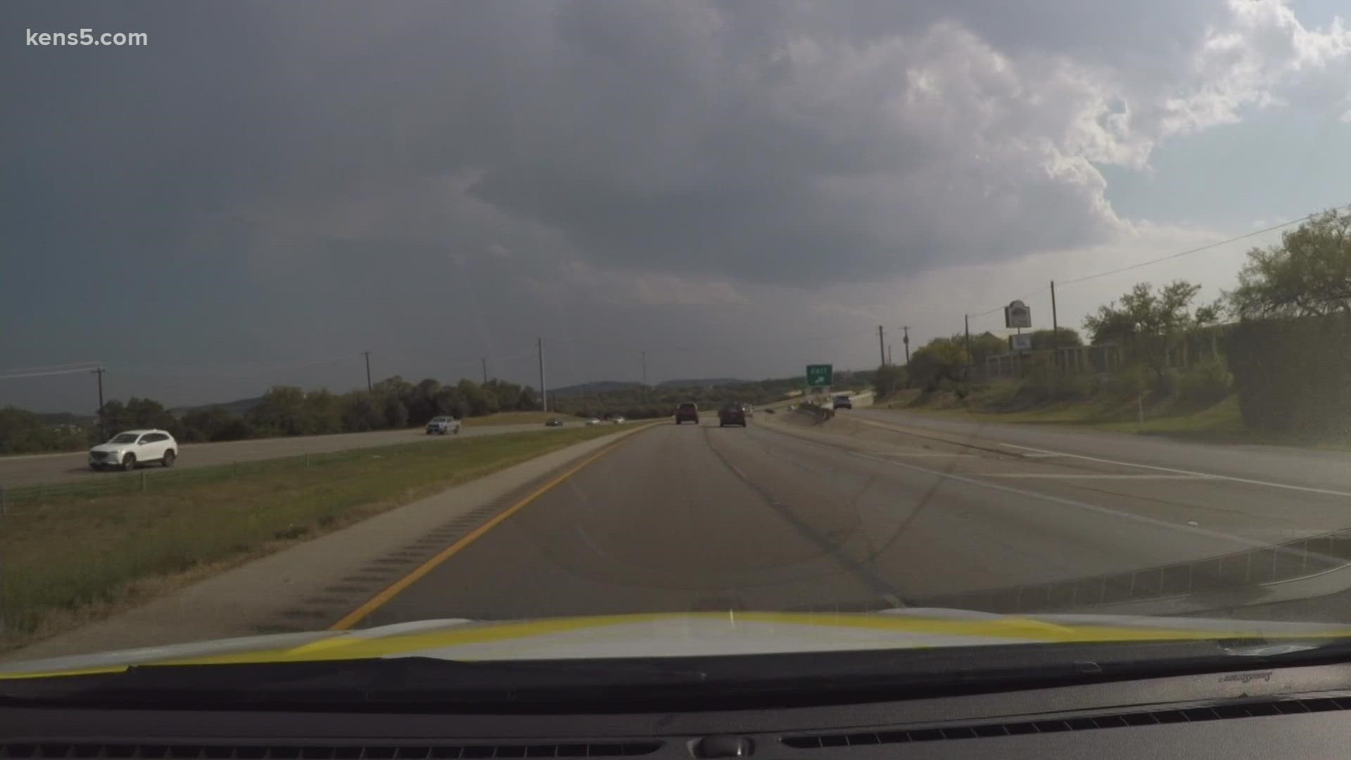
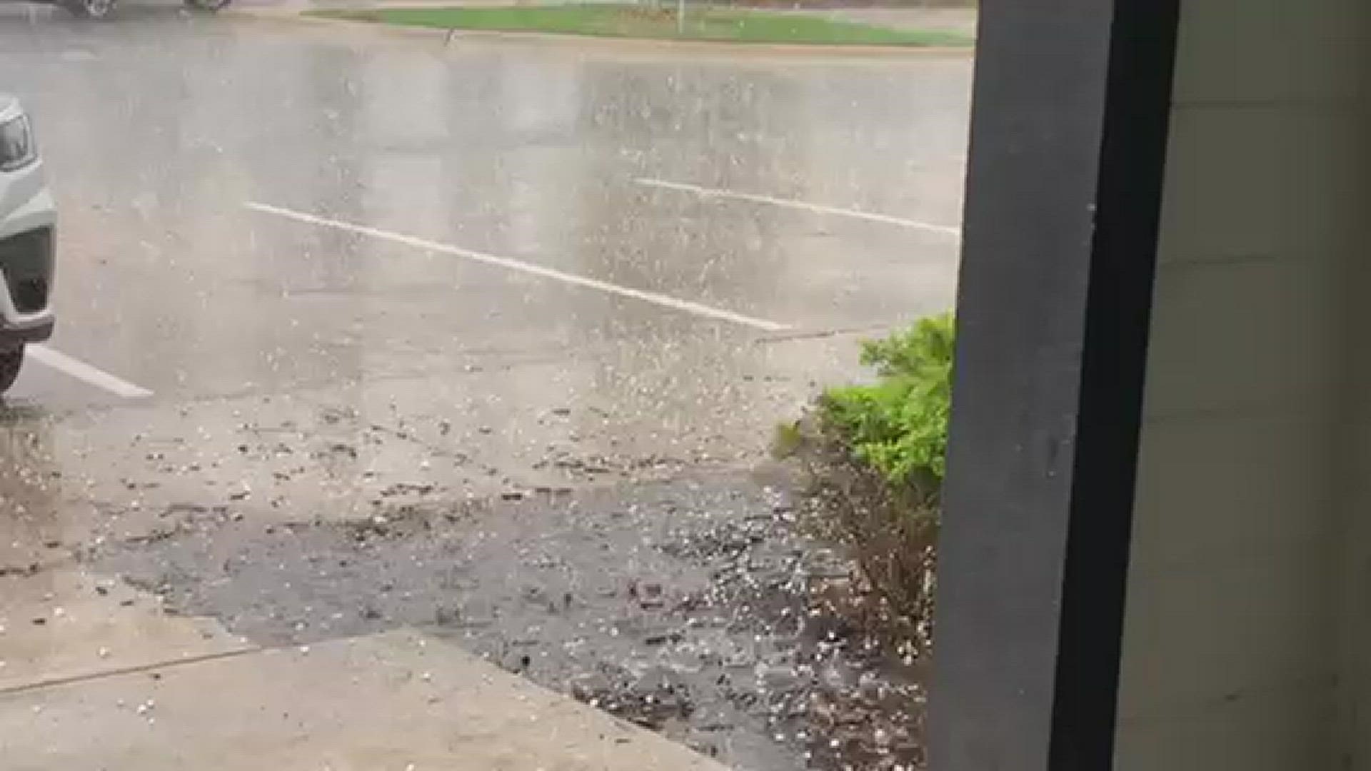
TEXAS, USA — Quarter-size hail was reported from a storm that moved from Bexar County into Comal County around 6 p.m. Tuesday. A Severe Thunderstorm Warning included parts of northern Bexar County has since expired.
San Antonio is under a level 2 out of 5 threat level for severe storms this afternoon and evening. The potential for isolated storms to become severe is possible as the dryline slowly moves eastward.

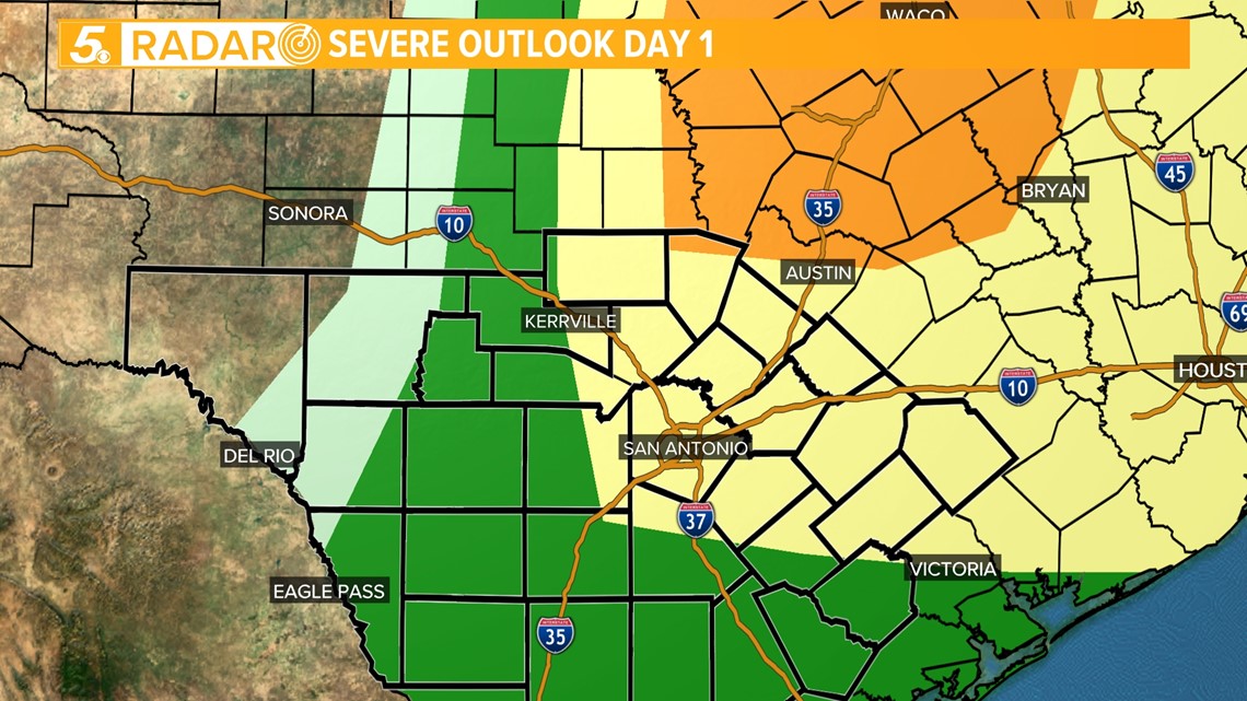
The National Weather Service says the "cap", which works against storm development could erode, sparking severe storms in the San Antonio area and Hill County.
Large hail of a quarter to golf ball-size, damaging winds with gusts of 60 mph and isolated tornadoes are all possible with severe storms that develop. The main window for severe storms forming is between 2 p.m. and 10 p.m.
Warm and humid conditions will remain in place overnight before a cold front moves in Wednesday morning. A small chance of shower activity is possible along this front.
San Antonio is also under a Fire Weather Watch beginning Wednesday at 10 a.m. until 8 p.m. This is due to breezy and dry weather conditions behind the dryline.
Sunny skies will come into place behind the front for San Antonio but high temperatures will stay warm in the upper 80s and low 90s. However, Thursday morning temperatures will be in the upper 50s.
This is a developing weather event. Refresh the page for the latest updates.
SEVERE WEATHER 101
When severe weather threatens the area, it is important to know what risks a storm can bring and what you should do to stay safe.
One of the most important things to know is where you are located on a map, so when a watch or warning is put into place, you can identify if you are at risk. When the National Weather Service puts out warnings, they are county-based and sometimes include cities as well. It is important to know where you live in the county and that you can identify it on a map.
It is also important to know the difference between a watch and a warning. A watch means that conditions are favorable for something to happen, but a warning means that something has developed and it is important to take action.
So, what would cause a thunderstorm to be qualified as a "severe" thunderstorm?
Hail that is one inch large is also considered to be about the size of a quarter.
Another ingredient that would lead to a storm becoming severe is if winds are 58 mph or greater.
Winds at this strength could cause damage to roofs and could even cause trees to be knocked down.
Finally, if a tornado is present inside a thunderstorm it would qualify the storm as becoming severe.
In this instance, a tornado warning would be issued.
A tornado watch can be issued for an area if strong storms are expected, and if the storms bring the risk for tornadoes, but not all storms include the threat for tornadoes. The ingredients in the atmosphere for a tornado to form are not always there when storms are present.
If the area you are in is ever under a tornado warning, it is important to know where you should go inside your home.
Head to the lowest, interior room of your home. The basement would be best, but if you don't have one, head to the first floor of the home and get away from exterior walls, or walls that lead to the outside of the home.
It is also important to stay away from glass. The more walls you can put between you and the outside, the better.
While lightning can be frequent in storms and very dangerous, it does not lead to a storm being qualified as severe.
Remember, when thunder roars, go indoors.
Storms can also lead to flooding. Flooding may not cause a storm to be labeled as being severe, but it is the deadliest kind of weather.
South Texas is known to have major flood events every few years, so it is important to use caution and to always stay out of floodwaters. Remember, turn around, don't drown.
Entering flood water is very dangerous as you can be swept off of your feet and you don't know what could be in the water that could hurt you.
The best thing you can do to be ready for severe weather is know what you will do in the event it strikes where you live.
Make sure your family has a severe weather action plan.
Have a place everyone goes inside your home and keep supplies there, such as food, medication, batteries, and flashlights.
Weather Minds Classroom: Take a class in Severe Weather 101
Follow the KENS 5 Weather Team
Don't forget you can download the KENS 5 app for the latest news and weather information each day while you are on the go.